Walks in Dunners
Isolation Walks: a google map for a walk around north Dunedin with information about different places – view North Dunedin Isolation Short Walk and North Dunedin Isolation Long Walk on Google Maps.
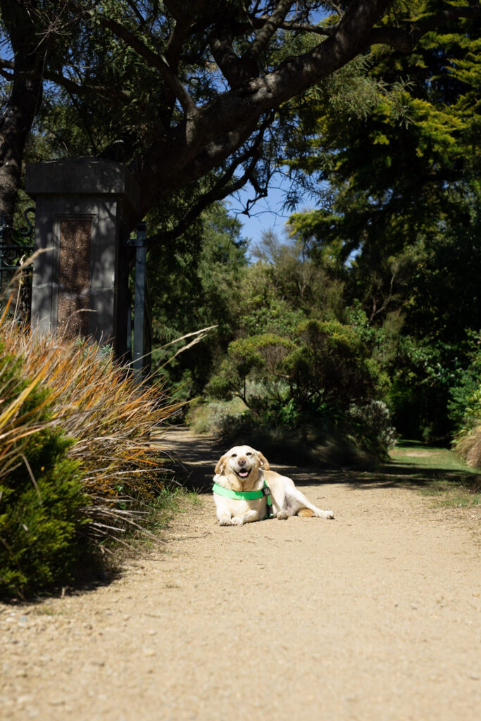
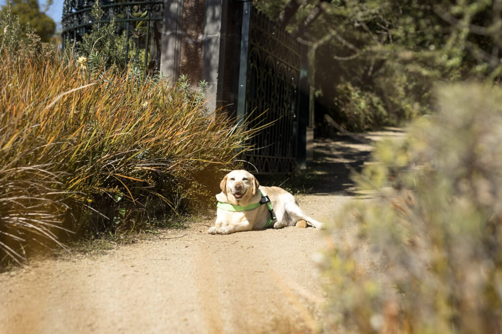
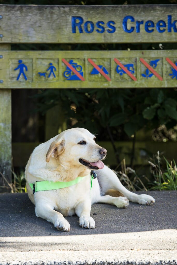
Ross Creek: A labyrinth of walks based in and around the Ross Creek Reservoir. Click here to open the map.
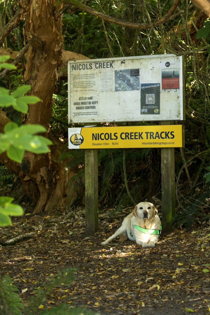
Nichols Creek: The magical fairyland of Little Edinburugh. Glow worms & waterfalls in lush Southern bush, need I say more? Click here to go to the map.
Dunedin Botanical Gardens: The oldest Established gardens in Aotearoa New Zealand, really a winner. Close to the NEV for all your picnic supplies. Click here to open the map.
Dunedin Town Belt: If the Botanic Gardens is the Jewel in the Crown, Dunedin’s Town Belt is the actual crown of Dunedin’s natural environment. Check out Dunedin’s Amenities Society Town Belt Traverse which has been conveniently embedded into the Walks in Dunners map for a historical tour of this local treasure. Click here to open the map.
Signal Hill: Take the bus up to this hill with a view and puzzle (as we all have) over the two large & unexplained statues plonked at the summit, then cruise down to the bottom on your mountain bike. Click here to open the map.
Useful links:
- https://www.ousa.org.nz/clubsandsocs/clubs/clubs-list/otago-university-tramping-club-outc
- https://otmc.co.nz/
- https://www.dunedinorienteering.org/
- https://crushthecargill.wordpress.com/
- https://3peaksmountainrace.com/
- https://www.parkrun.co.nz/dunedin/